

Dallas weather: Gov. Abbott activates emergency resources as severe storm threat builds for North Texas

DALLAS - After a relatively calm Friday, an active weather pattern is set to take hold of the Metroplex this weekend. Residents should remain weather-aware as the National Weather Service warns of a multi-day severe weather setup that could include large hail, damaging winds and tornadoes.
Friday Forecast
Dallas weather: Apr. 10 evening forecast
The rain is ready to hit us here in North Texas, and FOX 4 chief meteorologist Dan Henry has an evening forecast for April 10 to get us ready for when and where the storms will hit.
Isolated showers and a few rumbles of thunder are possible Friday afternoon, particularly for areas south of Dallas-Fort Worth. Most of the region will remain dry under partly sunny skies with highs in the low 80s. While no widespread severe weather is expected today, a few stronger cells could produce small hail and gusty winds.
Gov. Abbott activates emergency resources ahead of severe weather

What we know:
In response to the building severe storm threat, Gov. Greg Abbott on Friday directed the Texas Division of Emergency Management (TDEM) to activate state emergency response resources. These assets are being deployed to support local officials as severe weather is expected to impact North, West and Central Texas through the early part of next week.
Resources on standby include swiftwater rescue boat squads, urban search and rescue teams, road condition monitoring and readied ambulances. All-terrain vehicles and helicopters for water rescues are also available.
State officials continue to monitor wildfire conditions in West and Northwest Texas, where high winds and dry conditions remain a concern ahead of the approaching storm system.
What they're saying:
"The State of Texas stands ready to deploy all necessary resources to help local officials respond to potential severe weather," Abbott said. "Texans are encouraged to regularly monitor road conditions, make an emergency plan, and heed the guidance of state and local officials."
LIVE Radar: Dallas-Fort Worth

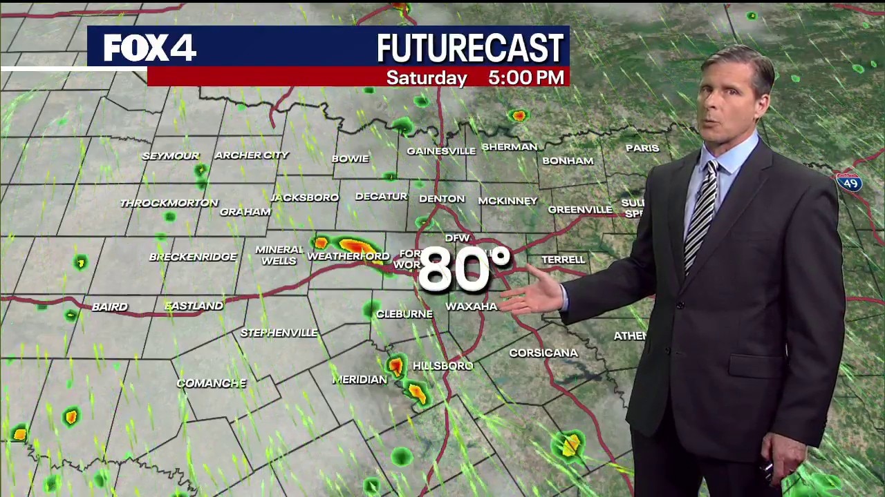
Weekend Forecast

Storm chances increase Saturday afternoon with scattered development possible west of the Metroplex. By Saturday night and into early Sunday morning, a more organized round of storms will move in, bringing rain, lightning and a low threat of damaging winds.
Sunday represents the most significant concern for the region. According to the National Weather Service, a notable severe storm threat will develop Sunday afternoon as moisture and instability increase. If morning clouds and rain clear out quickly, the atmosphere will become more volatile, increasing the potential for all modes of severe weather, including large hail and tornadoes.
7-Day Forecast

The active pattern is expected to persist through at least Wednesday. Forecasters note that while the exact timing and coverage remain uncertain, the environment will remain favorable for strong-to-severe storms during the afternoon and overnight hours next week. A brief lull in activity is possible Monday before a heightened severe risk returns Tuesday and Wednesday.
The Source: Information in this article comes from FOX 4 Forecasters and the National Weather Service.