

Dallas Weather: Dangerous sleet and snow as winter storm hits North Texas
DALLAS - The Texas Winter Storm is here… Temperatures are falling and roads are becoming increasingly icy across North Texas, but the most severe impacts of this arctic blast have yet to arrive. While the region is already feeling the onset of winter weather, a secondary, more intense wave of the storm is expected to move in late today.
Texas Winter Storm
According to the National Weather Service, a Winter Storm Warning remains in effect for North and Central Texas through at least noon on Sunday. Additionally, an Extreme Cold Warning will be in effect from Sunday evening through Tuesday at noon.
There's also an Ice Storm Warning in effect for Anderson, Henderson, Freestone, and Van Zandt counties through noon on Sunday.
If you lose power, you can still stream FOX LOCAL on our mobile app: DOWNLOAD HERE
Dallas Weather Saturday Forecast

Dallas Weather: Jan. 24 overnight forecast
FOX 4 Weather's Chief Meteorologist Dan Henry gives an update on weather conditions, including more ice and snow in the forecast for Saturday night into Sunday. Plus, temperatures are expected to drop even further.
According to FOX 4 Chief Meteorologist Dan Henry, we’re now heading into the second wave of the winter storm.
The first bit of wintry weather arrived late Friday into Saturday morning. And the precipitation has been on and off all afternoon. That should continue for the next few hours. Then, as the night wears on, we’ll see the bulk of our accumulation.
Temperatures have been falling all day long. That means road surfaces now are very cold and so everything that falls from this point forward is likely going to stick. Road conditions, which are already bad, are only going to get worse.
As of 4:30 p.m., radar showed a mixture of sleet and snow moving through North Texas. It was mainly light to moderate sleet in the Dallas-Fort Worth metroplex, with heavier sleet and snow in our northwestern counties.
There was even some thundersleet with a band that moved through the Clifton and Valley Mills area in Bosque County on Saturday afternoon. Thundersleet is a rare winter phenomenon that occurs when you have thunder and lightning while it’s sleeting.
Sunday Weather Forecast
As Saturday night wears on, temperatures will continue to fall into the teens. The high on Sunday morning is expected to be about 13 degrees. The sleet could turn to snow for everyone in North Texas by Sunday morning. Flurries may continue through Sunday afternoon, which has an expected high of about 19 degrees. That would be a record-breaking low high for Jan. 25.
Monday will be another record-breaking day with a low of 9 degrees in the morning. The highs are only expected to climb to about 28 degrees on Monday afternoon.
With wind chills, it will feel like -5 degrees on Sunday and Monday mornings and just 2 degrees on Tuesday morning. Temperatures are still not expected to climb above freezing until Tuesday afternoon.
Read More:
- LIVE UPDATES: Ice storm, freezing temperatures reach North Texas
- LIVE: Dallas-Fort Worth tower cameras
- North Texas school districts cancelling class on Monday
- PHOTOS: Winter weather moves into North Texas
Road Conditions in Dallas
Road conditions across North Texas deteriorated quickly as temperatures dropped and freezing precipitation became more widespread. Local officials and TxDOT are urging residents to stay off the roads if possible.

LIVE UPDATES: Ice storm, road conditions, school closings in North Texas
With a Winter Storm Warning in effect, FOX 4 is bringing you live, minute-by-minute updates on North Texas temperatures, ice and snow totals, road conditions, flight cancellations, closings, and more.
Ice & Snow Predictions

Freezing rain will produce at least light accumulations of ice across all North Texas. Areas south and east of the metroplex may be primed for the heaviest ice build-ups. Remember, once ice exceeds 1/2" thickness, power outages become more likely, especially in heavily wooded East Texas.

The FOX 4 Weather team expects sleet and snow across North Texas. This is in addition to about 1/4" to 1/2" of ice north and west of the metroplex, and 1/2"to 3/4" to the east and southeast.
What is sleet?
Sleet is frozen rain that forms when snow partially melts and then re-freezes into ice pellets before hitting the ground. It is known for "bouncing" on impact, according to NWS.
Closings & Cancellations
Most North Texas school districts have decided to close school on Monday. There are also events, activities, and church services that have been canceled over the weekend.
FULL LIST OF CANCELED ACTIVITIES IN NORTH TEXAS
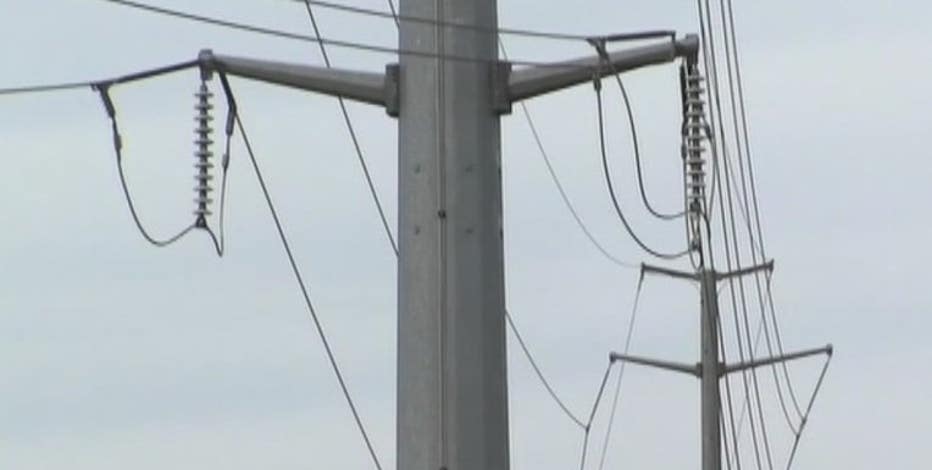
Power Outages
As winter weather moves through Texas, power outages in the state have topped 50,000, but the Electric Reliability Council of Texas' grid has remained stable with sufficient power reserves.
According to findenergy.com, power outages are impacting customers in east Texas the most. Both Bowie and Shelby counties are reporting more than 5,000 customers without power Saturday afternoon. Tarrant County also has about 7,000 customers without power.
Texas winter storm: Power outages top 50K, ERCOT grid stable
Power outages in the state have topped 50,000, but the Electric Reliability Council of Texas' grid has remained stable with sufficient power reserves.
7-Day Forecast

LIVE RADAR: Dallas-Fort Worth

Send Us Your Photos
The Source: Information in this article comes from the National Weather Service, FOX 4 meteorologists, Texas officials and FOX 4 reporting.