City of Dallas unveils new mapping tool to help track coyote sightings

City of Dallas unveils new mapping tool to help track coyote sightings
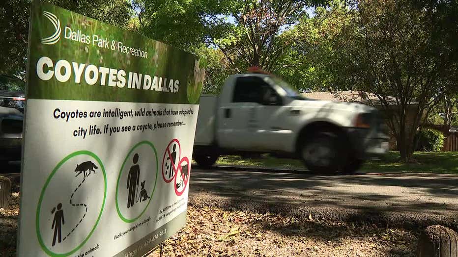
After a coyote attacked a toddler on his front porch in Lake Highlands last May, Dallas began working on a coyote management plan. An important part of the plan is the interactive map that is now available to the public.
DALLAS - The city of Dallas has a new coyote mapping tool available to help both the city and the public track coyote behavior in neighborhoods.
The city will monitor coyote activity to determine if coyotes are becoming too comfortable in a particular neighborhood.
The city's interactive map shows coyote sightings all over the city of Dallas, and the city expects sightings to increase in the spring.
After a coyote attacked a toddler on his front porch in Lake Highlands last May, Dallas began working on a coyote management plan. An important part of the plan is the interactive map that is now available to the public.

Paul Ramon is the assistant director of Dallas Animal Services. He says the map tracks coyote sightings, encounters and attacks reported through the hotline or the website.
The map will help alert DAS to coyote hot spots that may need to be addressed.
Ramon says the team will look for issues that include unsecured trash and pet food that's left out.
"They are part of wildlife. We should not be feeding them or providing opportunities by leaving pet food outdoors in plain view," he said. "If you feed your pet and they did not eat it all, make sure you bring it inside.
Ramon says people should also keep their dogs close by when on walks.
"Retractable leashes go 10 feet," he said. "Coyote sees that as potential prey because they are not close enough to the owner to see there is an alpha here other than me."
And if you do encounter a coyote, Ramon says it is critical that you "haze" it so it does not get comfortable around people.
"Having something to make a noise where you are heard," he said. If you run into one or at a distance, make yourself known by screaming or shouting, a whistle, a can with rocks. Shake it loud enough that it sends them back to their habitat away from human activity."
Dallas Coyote Sightings Map
bedallas90.org/COYOTES/

